Point Cloud to CAD Canada
Point cloud to CAD and LiDAR to CAD drafting for Canadian survey firms — topographic linework, surfaces and existing-conditions drawings from scan data.
What you get
Terrestrial, mobile and UAV LiDAR processed into survey-grade linework and surfaces in your CAD platform.
Full working-day overlap with Eastern, Central, Mountain and Pacific Canada.
- Feature extraction from scans
- Ground classification surfaces
- Building & façade outlines
- Utility & hardscape linework
- UAV LiDAR topo
- ReCap / RCP workflows
Point Cloud to CAD — search terms we cover
Primary
Buyer intent
Cities
More Canada survey drafting services
Available across Canada
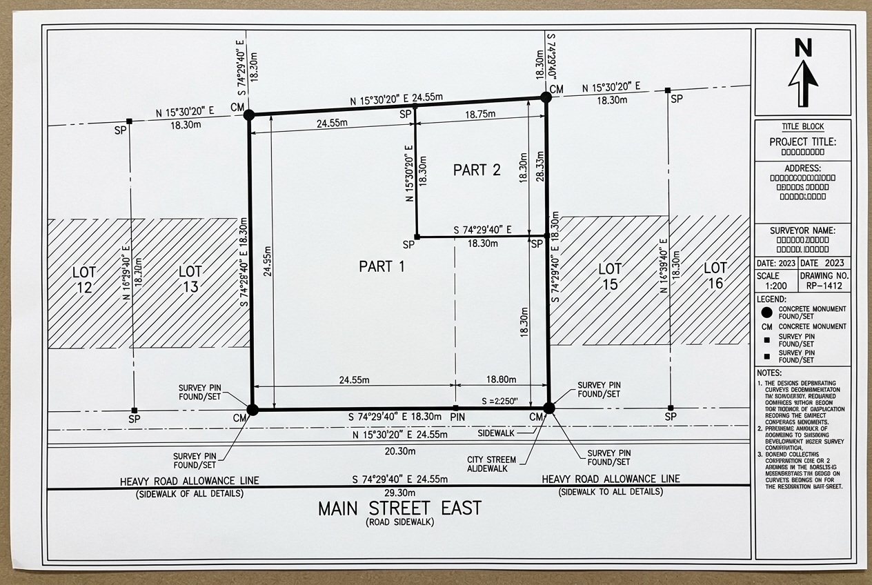
Reference Plan Drafting for a GTA Infill Severance
Plan returned for the surveyor’s review in 48 hours, ready for certification.
Indicative rates in CAD
Full working-day overlap with Eastern, Central, Mountain and Pacific Canada.
We invoice in USD and serve clients across time zones. Local-currency figures are approximate, based on an indicative exchange rate, and shown for guidance only.
$20–$30 USD/hr
≈ C$27–C$41 CAD/hr
$75–$150 USD/drawing
≈ C$103–C$206 CAD/drawing
Start your point cloud to cad project
Send a sample job — we’ll return a quote within 2 hours.